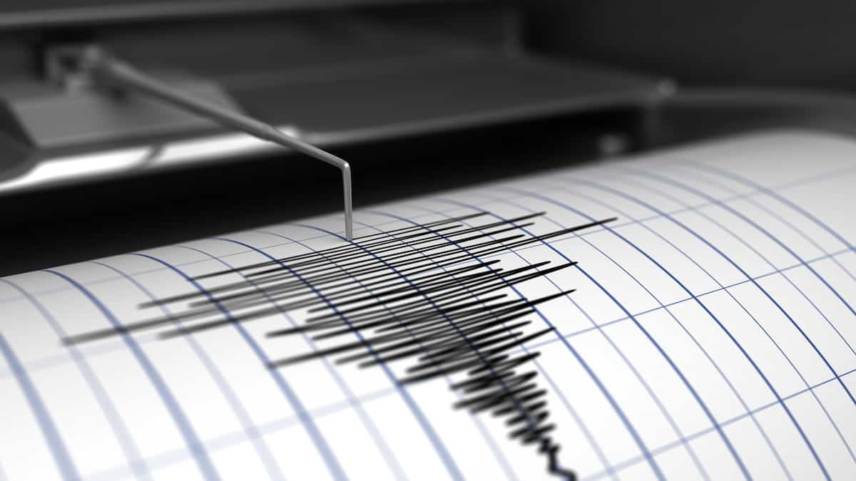
A magnitude 7.3 earthquake shook eastern Indonesia on Tuesday, the USGS said and a tsunami alert was issued.
The epicenter was reported below the Pacific Ocean floor, at 100:20 GMT, according to the USGS. The company initially estimated the magnitude at 7.6 and the depth at 76 km.
The Honolulu-based Pacific Tsunami Warning Center has warned that “dangerous waves are possible along the coast within 1,000 km of the quake.”
The USGS determined that the death toll from the quake was minimal, but stressed that “recent earthquakes in the region could cause severe damage in secondary hazards such as tsunamis and landslides.”
Shallow earthquakes cause more damage than deep earthquakes.
Indonesia is constantly facing earthquakes and volcanic eruptions as it is located in the Pacific “fire ring” where the tectonic plates meet.
The archipelago was marked by a 9.1 magnitude earthquake off the coast of Sumatra on December 26, 2004, which caused a massive tsunami and killed 220,000 people across the region, including about 170,000 in Indonesia alone.
In 2018, Lombok Island and the neighboring island of Sumbawa were hit by a severe earthquake that killed more than 550 people. That same year, a 7.5-magnitude earthquake triggered a tsunami that struck the island of Sulawesi, killing 4,300 people or leaving them missing.
In January, a magnitude 6.2 earthquake shook the island of Celips and killed at least 100 people when several buildings collapsed in the coastal city of Mamuju.


More Stories
More than 200 former Republican aides back Kamala Harris | US Election 2024
An investigation into the ill-treatment of the Lev Tahor sect in Guatemala
Brossard is suspected by the US of supporting Russia’s war effort