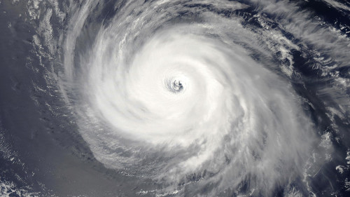
A very active hurricane season continues in the Pacific Ocean, with a 19th system forming last Thursday. This Saturday, Roslyn not only became the 10th hurricane to hit the area, but the hurricane reached Category 3 (winds of 178 km/h) major hurricane status. The system will intensify throughout the day and may reach Category 4 (209+ km/h). Although it is expected to weaken before making landfall, it may retain or slightly lower its main hurricane status.
Future impacts
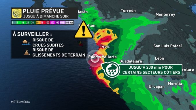
The system, currently along the west coast of Mexico, is expected to make landfall on Sunday morning, not far from the tourist area of Puerto Vallarta. Winds of up to 175 km/h are expected when it arrives, as Roslyn will later become a Category 2 hurricane, and these strong winds with an intense low pressure center could create storm surges. In turn, these can damage the power grid and create coastal flooding.
Also, 200 mm of rain may occur at some places. All this accumulated water increases the risk of landslides and flash floods for certain sectors.
Second violent organization within a month
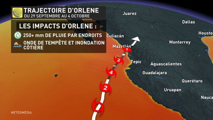
Roslyn’s path was not the same as Hurricane Arlene’s. A previous system hit Jalisco state in early October. Arlene’s arrival forced the closure of many schools along the Mexican west coast. The ports of Manzanillo and Puerto Vallarta had to be closed to ships.
A “productive” season
Undoubtedly, the Pacific basin is more active in terms of systems compared to the Atlantic Ocean. Already, the average number of named storms this year has exceeded. What’s more, it is not excluded that other systems will emerge in the coming weeks. The positive so far is that the number of major hurricanes is below average.
But with hurricane season officially ending on Nov. 30, there’s still a chance to disrupt the West Coast’s peace.


More Stories
More than 200 former Republican aides back Kamala Harris | US Election 2024
An investigation into the ill-treatment of the Lev Tahor sect in Guatemala
Brossard is suspected by the US of supporting Russia’s war effort